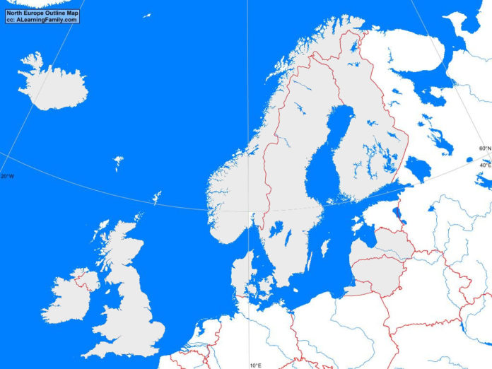
The North Europe outline map is provided. The outline map includes a list of neighboring countries, major cities, major landforms and bodies of water of North Europe.
A student may use the blank map to practice locating these political and physical features.
Features of the North Europe Outline Map
Neighboring Countries
- Belarus
- Belgium
- Germany
- Netherlands
- Poland
- Russia
Countries and Capital Cities
- Denmark (Copenhagen)
- Estonia (Talinn)
- Finland (Helsinki)
- Iceland (Reykjavik)
- Ireland (Dublin)
- Latvia (Riga)
- Lithuania (Vilnius)
- Norway (Oslo)
- Sweden (Stockholm)
- United Kingdom (London)
Bodies of Water
- Arctic Ocean
- Atlantic Ocean
- Baltic Sea
- Celtic Sea
- Gulf of Bothnia
- North Sea
- Norwegian Sea
Major Landforms
- Central Plain
- Grampian Mountains
- Iceland Plateau
- Jutland Peninsula
- Kjolen Mountains
- North European Plain
- Scandinavian Peninsula

