Bagimont
Bagimont is a village in Vresse-sur-Semois, Arrondissement de Dinant, Wallonia and has about 28 residents. Bagimont is situated nearby to the localities Martin Pré and La Hatte.- Type: Village with 28 residents
- Description: section of Vresse-sur-Semois, Belgium
- Postal code: 5550
Notable Places in the Area

Église Saint-Rémy de Gespunsart
Church
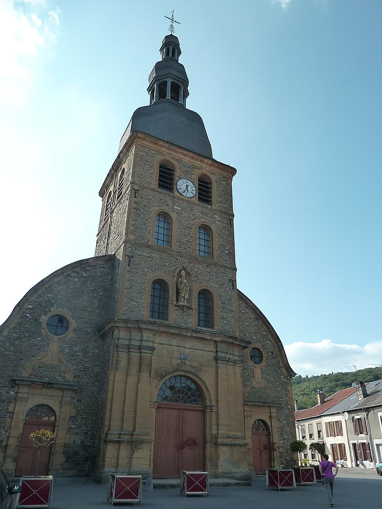
Photo: Adri08, CC BY-SA 3.0.
Église Saint-Rémy de Gespunsart is a church situated 3½ km west of Bagimont.
Localities in the Area


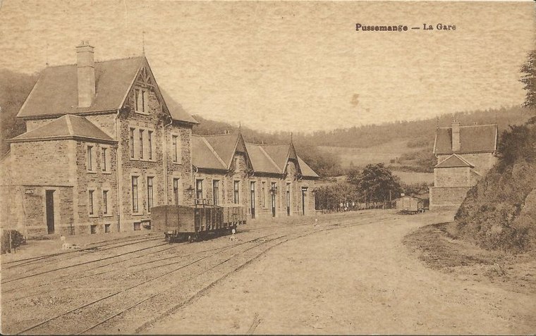
Bohan sur Semois
Village

Photo: Jean-Pol GRANDMONT, CC BY 3.0.
Bohan-sur-Semois is a village of Wallonia and a district of Vresse-sur-Semois, located in the province of Namur, Belgium. Bohan sur Semois is situated 4½ km north of Bagimont.
Bagimont
- Categories: municipality section and locality
- Location: Vresse-sur-Semois, Arrondissement de Dinant, Namur, Wallonia, Belgium, Benelux, Europe
- View on OpenStreetMap
Latitude
49.8242° or 49° 49' 27" northLongitude
4.87512° or 4° 52' 30" eastPopulation
28Elevation
358 metres (1,175 feet)Open Location Code
8FX6RVFG+M2OpenStreetMap ID
node 677285886OpenStreetMap Feature
place=villageGeoNames ID
2802783Wikidata ID
Q2510402Bagimont Satellite Map
© OpenStreetMap, Mapbox and Maxar
Also Known As
- Dutch: Bagimont
- French: Bagimont
- Hungarian: Bagimont
- Irish: Bagimont
- Russian: Бажимон
- Walloon: Badjimont
- Vresse-sur-Semois (Bagimont)
Localities in the Area
- Martin PréLocality
- La HatteLocality
- AmourelleLocality
- BraquenyLocality
- Sur la HayeLocality
Landmarks in the Area
- Église Saint-Jean-BaptisteChurch
- Cimetière derrière les GrangesCemetery
- Cimetière de la Fosse au LoupCemetery
- Arbre mortForest
- Église Saint-MartinChurch
Escape to a Random Place
Discover other destinations in the world.
About Mapcarta. Thanks to Mapbox for providing amazing maps. Data © OpenStreetMap contributors and available under the Open Database License. Text is available under the CC BY-SA 4.0 license, excluding photos, directions and the map. Photo: Zairon, CC BY-SA 4.0.