ASBL Les Montagnards
ASBL Les Montagnards is a building in Oupeye, Liège, Wallonia located on Rue Franquet. ASBL Les Montagnards is situated nearby to the community center Locaux Paroissiaux and the church Église Saint-Siméon.Notable Places in the Area
Sint-Remigiuskerk
Church

Photo: Sonuwe, CC BY-SA 3.0.
Sint-Remigiuskerk is a church situated 2½ km northwest of ASBL Les Montagnards.
Church of Saint-Pierre
Church
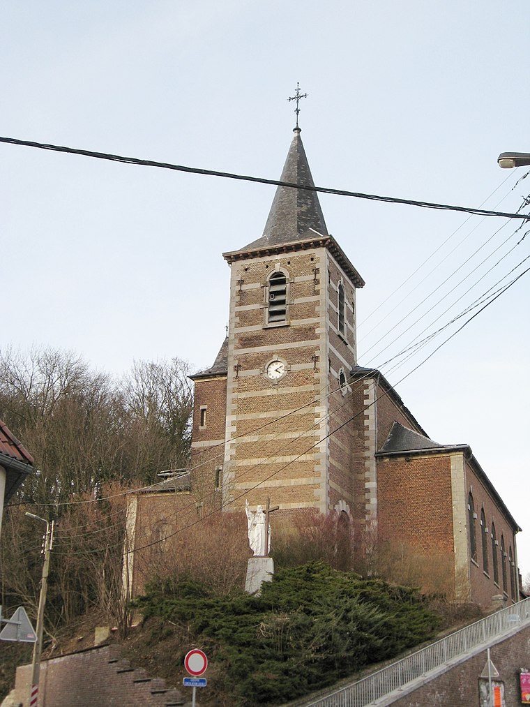
Photo: Sonuwe, CC BY-SA 3.0.
Church of Saint-Pierre is situated 2½ km north of ASBL Les Montagnards.
Le petit Lourdes

Photo: Dodeeric, CC BY-SA 3.0.
Le petit Lourdes is situated 2½ km north of ASBL Les Montagnards.
Localities in the Area

Bassenge
Village

Photo: Scargill, CC BY-SA 3.0.
Bassenge is a municipality of Wallonia located in the province of liège, Belgium.
Boirs
Village
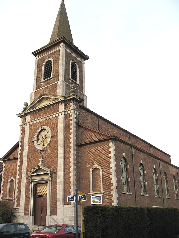
Photo: Sonuwe, CC BY-SA 3.0.
Boirs is a village situated 2½ km northwest of ASBL Les Montagnards.
ASBL Les Montagnards
Latitude
50.7382° or 50° 44' 18" northLongitude
5.60905° or 5° 36' 33" eastOpen Location Code
9F27PJQ5+7JOpenStreetMap ID
way 919785319OpenStreetMap Feature
building=yesASBL Les Montagnards Satellite Map
© OpenStreetMap, Mapbox and Maxar
Landmarks in the Area
- Locaux ParoissiauxCommunity center
- Église Saint-SiméonChurch, 120 metres northeast
- Square Gilles CharlierVillage green, 220 metres southwest
- Aus Buissons/ A la TombeScenic viewpoint, 670 metres east
- La Pirouette - Maison EquestrePitch, 1 km northeast
Places in the Area
- Friterie StrauvenFast food restaurant
- Librairie HoutheinConvenience store
- Salle l'EgalitéBuilding
- EFC Houtain-Saint-SiméonSchool, 150 metres southeast
- Les P'tites ChenillesKindergarten, 170 metres southeast
Escape to a Random Place
Discover other buildings in the world.
About Mapcarta. Thanks to Mapbox for providing amazing maps. Data © OpenStreetMap contributors and available under the Open Database License. Text is available under the CC BY-SA 4.0 license, excluding photos, directions and the map. Photo: A.Savin, CC BY-SA 3.0.