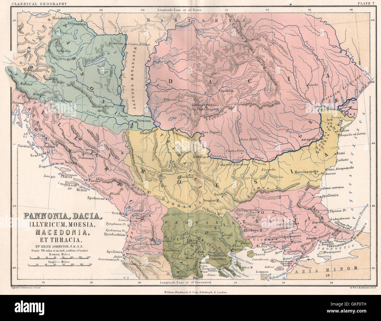
Pannonia, Dacia, Illyricum, Moesia, Macedonia Thracia. Ancient Balkans, 1855 map
RFID:Image ID:GKF0TH
Image details
Contributor:
Antiqua Print Gallery / Alamy Stock PhotoImage ID:
GKF0THFile size:
31.5 MB (2.3 MB Compressed download)Releases:
Model - no | Property - noDo I need a release?Dimensions:
3770 x 2916 px | 31.9 x 24.7 cm | 12.6 x 9.7 inches | 300dpiDate taken:
1855Location:
CroatiaMore information:
This image could have imperfections as it’s either historical or reportage.
'Pannonia, Dacia, Illyricum, Moesia, Macedonia, et Thracia'. Artist/engraver/cartographer: W. & A.K. Johnston. Provenance: "A School Atlas of Classical Geography", by Alexander Keith Johnston, published by William Blackwood and Sons, Edinburgh and London. Type: Antique colour map.